We can define photogrammetry as the science or technique whose objective is to determine the dimensions and position of objects in space, through the measurement or measurements made from the intersection of two or more photographs, that is, photogrammetry extracts spatial information of the images. From this information, the dimensions and positions of the represented objects are quantified.
In the event that the measurements are made on a single photo, we obtain two-dimensional information about the object, but if we work with two or more photographs, in the common area of both photographs, which is known as the overlap zone, we can have stereoscopic vision, and therefore we obtain three-dimensional information about the object.

Today, photogrammetry has changed radically compared to what we knew just a few years ago., thanks mainly to technological advances. The emergence of unmanned aerial vehicles (UAV) or drones in the world of topography, and therefore photogrammetry, have caused this technique to evolve greatly.
Main applications of photogrammetry:
The applications of photogrammetry are many, although the following stand out above all:
- Cartography at different scales.
- Orthophotography.
- Architectural applications.
- Archeology.
- Control of ground deformations.
Drones.
Photogrammetry performed with drones is a recent technique, which has emerged thanks to the technological advances that have been produced and which have resulted in the appearance of drones at prices within the reach of any user.

Drones have offered photogrammetry an enormous amount of possibilities, since, until now, to obtain aerial images to work with, it was necessary to fly an airplane or helicopter with the consequent comparative financial expense. A drone allows you to obtain aerial photographs with very precise image overlap at a much more competitive price.
When carrying out a photogrammetric project with drones, it is important to have an expert pilot, since we are going to need the aerial photographs to be sharp and also have an overlap that ranges between 60% and 90%.
Main advantages of drone photogrammetry:
- Greater control over the final result: With a drone we can make as many flights as we want to obtain aerial photographs, even for several days. If we are not satisfied with any shots taken, we can repeat them as many times as we want, something that makes the final result better and more precise. An airplane or helicopter does not usually allow repetitions due to the high cost it entails, and that means that the final result may be of lower quality.
- Reduced costs: A drone can be purchased for an affordable price, especially when compared to any other aircraft. Furthermore, currently, most drones already mount cameras with professional resolutions, enough to perform good photogrammetry.
- Temporary reduction of the data collection process: Until now, planning and carrying out a flight, whether with a helicopter or an airplane, was a generally slow process since it was necessary to find and hire the aircraft, find a day to fly and make the flight itself.
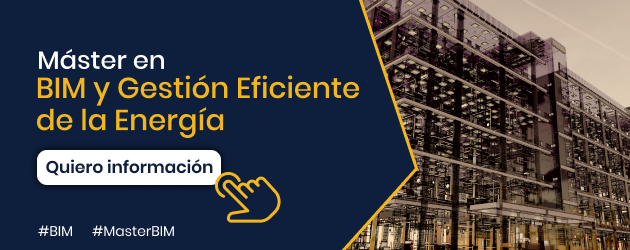
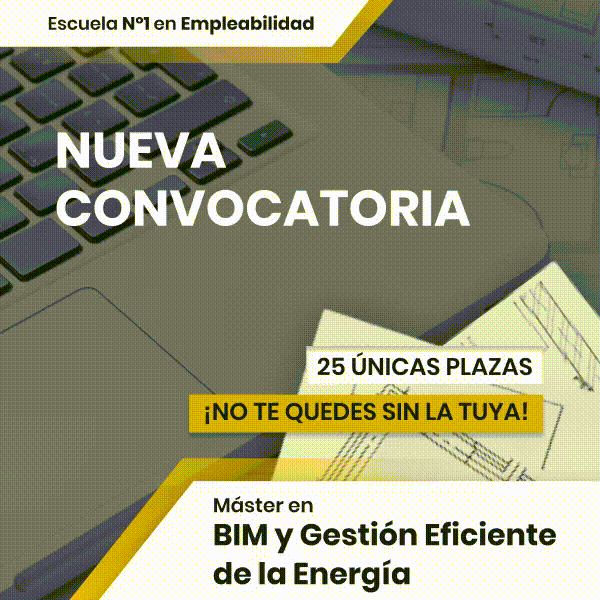
If you want to learn more about these techniques and their application in the BIM world to become an expert in buildings, do not miss the opportunity to enroll in our Master in BIM and efficient energy management.