The way in which the wind appears (speed, direction, turbulence, etc.) is complicated to predict because it depends on different global and local factors such as: rotation of the earth, position of the moon, difference in global and local temperatures , terrain orography, surface roughness, obstacles, etc.
Simplifying, the wind is obtained by the combination of two variables: speed and direction. Because of this, it is considered as a vector with speed and direction module.

The velocity gradient is greater the greater the pressure difference and its movement is influenced by the rotation of the Earth.
In areas where solar radiation is more intense, such as the Equator, the Earth accumulates heat mainly in the ocean, heat that is lost at the Poles. However, neither the Equator nor the Poles are, on average, the hottest or coldest places on the Earth's surface.
Only exhaustive studies and observations, which can be obtained thanks to the advancement of computing that achieves, thanks to the greater power of computers, greater calculations, directly affecting the results of statistical methods, which increasingly bring us closer to the real values. With the data models obtained, an attempt can be made to estimate the wind potential of a specific location.
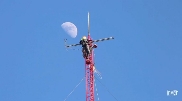
The first stage will consist of the anemometric study (measurement of wind speed) of the place where the wind turbine is planned to be installed. One of the most used techniques currently for this purpose is the making of a Compass Rose.
The most important measures taken are:
• Recopilation of speed data that the wind has in the chosen place.
• The speed frequency that occurs in a certain period (for common anemometric studies it is recommended to carry out measurements during one year).
• Establishment of the most frequent addresses where the wind blows.


